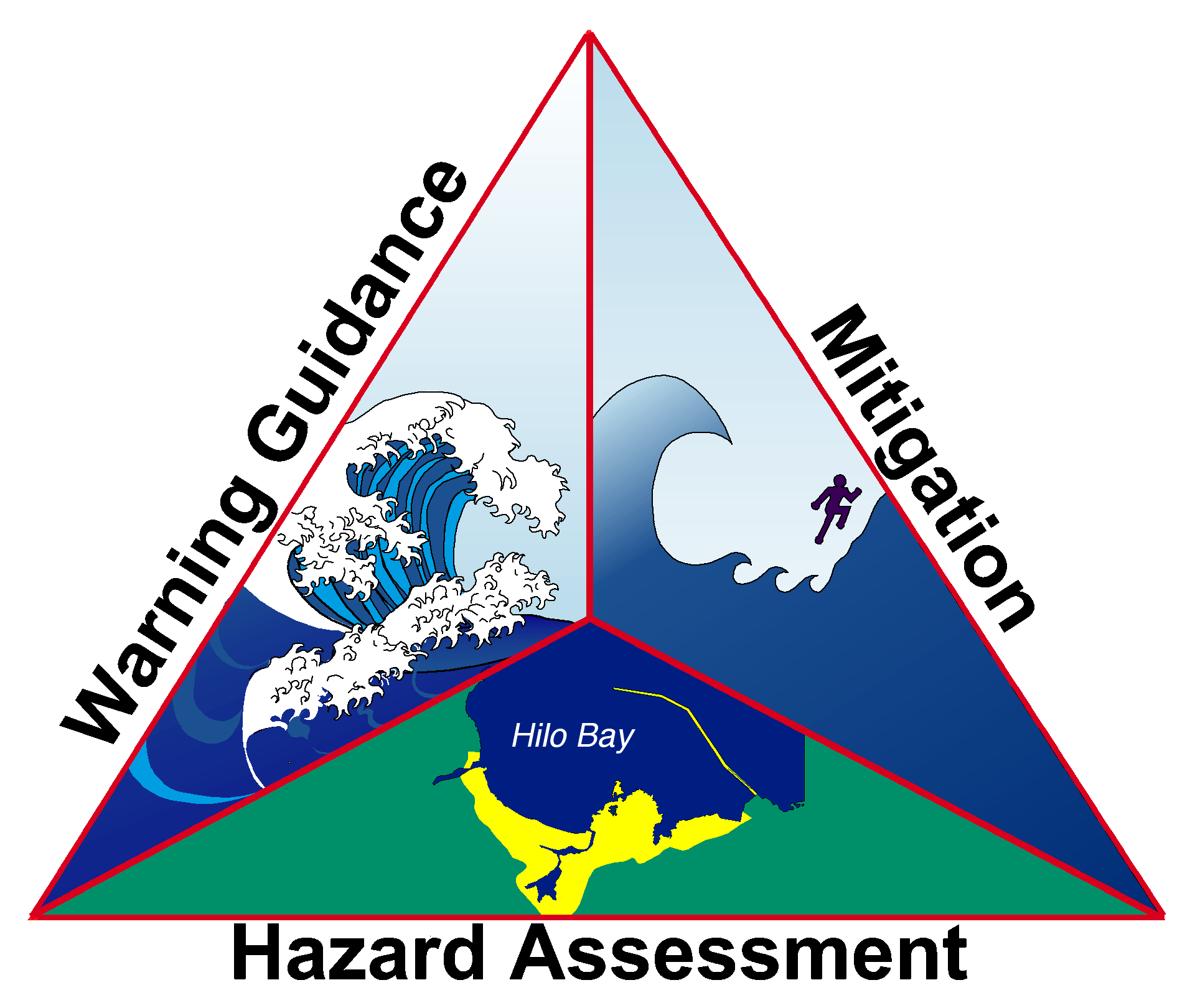
Tsunami Maps
In order to understand the potential for tsunami impacts on U.S. coastlines and help communities plan for the protection of life and property, NTHMP states and territories produce maps for their coastlines that identify tsunami inundation and evacuation areas. These maps are based largely on guidance produced collaboratively by members of the NTHMP to ensure consistent and accurate tsunami mapping of the Nation's coastline.
Click on individual states and territories to access popups with map links (text links are below).
- Tsunami inundation maps show the coastal areas that may be flooded by tsunami waves. Based on tsunami inundation models, these maps are used to create evacuation maps and guide tsunami-related emergency response and land-use planning.
- Tsunami evacuation maps show the coastal areas from which people must be evacuated to avoid harm from tsunami waves. These maps may also include evacuation routes and assembly areas.
Note: New maps are in development for some areas, and all are upated as warranted. Revisit this page and the associated links for the most up-to-date maps.
Click on the state/territory name to expand their section and see their links.
Learn more about the U.S. Tsunami Hazard.
|