|
Mapping and Modeling
Subcommittee
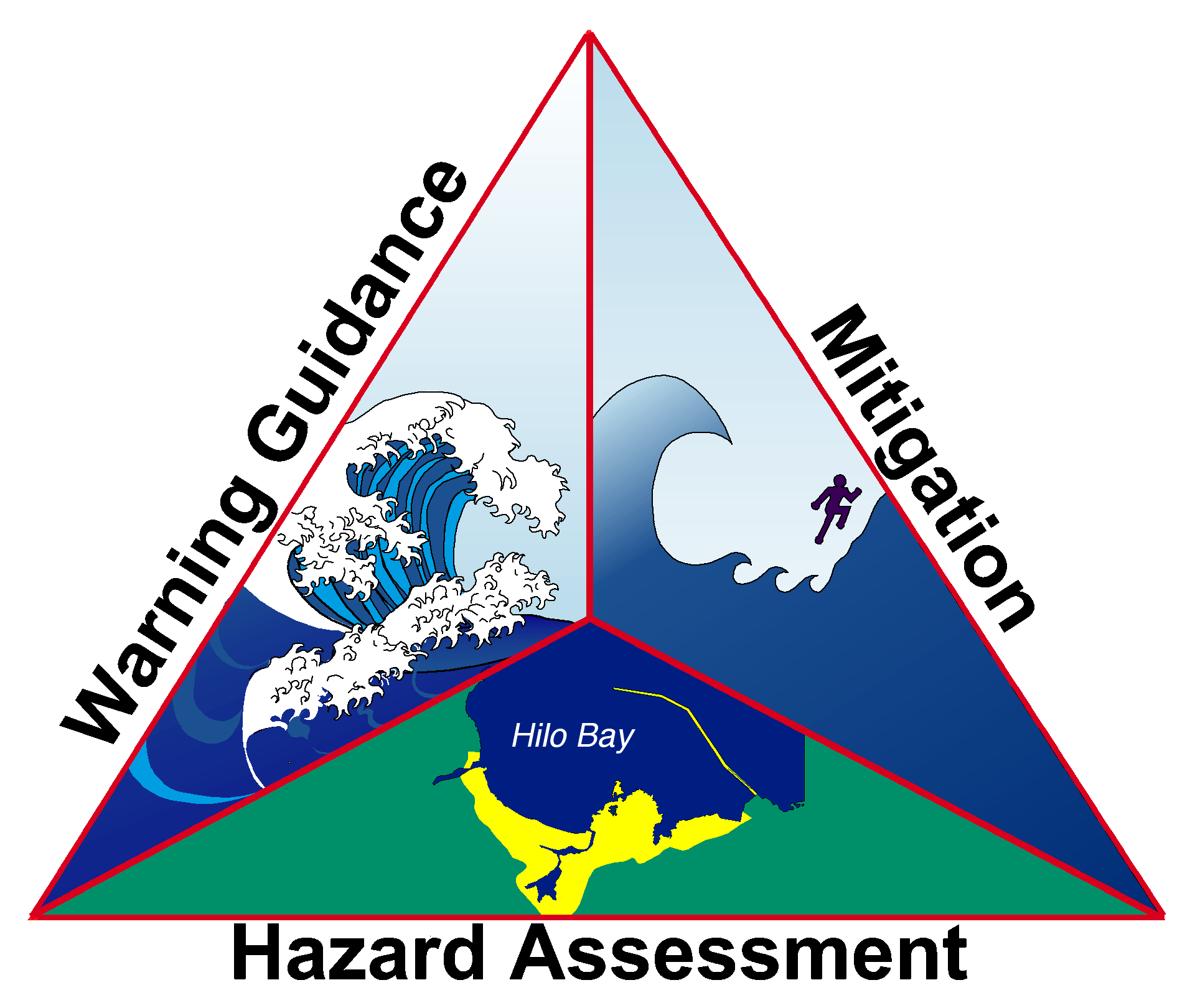
The Mapping and Modeling Subcommittee brings together expertise on modeling and mapping of tsunami hazards. The MMS develops, standardizes, and improves tools that show how tsunamis could affect people and property. Examples of these tools, which are used for emergency and community planning, include tsunami inundation (flooding) and evacuation maps that show who and what is at risk.
Mapping and Modeling Subcommittee
Modeling Guidance
The following are MMS's contributions to the Tsunami Modeling and Mapping: Guidelines and Best Practices Series. The full series is available on the NTHMP Publications page.
Modeling Products
Reference Materials
Models that Meet Defined Criteria for NTHMP Modeling and Mapping
Based on TWEA Sec 5 C(1) text that reads: "...use inundation models that meet a standard of accuracy defined by the Administration to improve the quality and extent of inundation mapping, including assessment of vulnerable inner coastal and nearshore areas, in a coordinated and standardized fashion to maximize resources and the utility of data collected;..."
Tsunami Model Benchmarking
National Centers for Environmental Information
|
|